Elżbiecin (condado de Ciechanów) Referencias Menú de navegación52°53′09″N 20°41′25″E / 52.8858, 20.690452°53′09″N 20°41′25″E / 52.8858, 20.6904«Central Statistical Office (GUS) - TERYT (National Register of Territorial Land Apportionment Journal)»
Localidades del distrito de Ciechanów
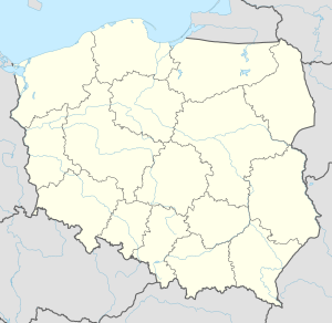
PoloniaMazoviaOpinogóra GórnaCiechanówOpinogóra GórnaCiechanówVarsoviavoivodato de Ciechanów
| Elżbiecin | ||
|---|---|---|
pueblo de Polonia | ||
 Elżbiecin | ||
| País | Polonia | |
| • Voivodato | Mazovia | |
| • Powiat | Ciechanów | |
| • Gmina | Opinogóra Górna | |
| Ubicación | 52°53′09″N 20°41′25″E / 52.8858, 20.6904Coordenadas: 52°53′09″N 20°41′25″E / 52.8858, 20.6904 | |
Polaco | ||
| Huso horario | Hora central europea (UTC+1) Horario de verano europeo (UTC+2) en horario de verano. | |
Elżbiecin es un pueblo de Polonia, en Mazovia.[1] Se encuentra en el distrito (Gmina) de Opinogóra Górna, perteneciente al condado (Powiat) de Ciechanów. Se encuentra aproximadamente a 3 km al norte de Opinogóra Górna, 4 km al noreste de Ciechanów, y a 78 km al norte de Varsovia.
Entre 1975 y 1998 perteneció al voivodato de Ciechanów.
Referencias
↑ «Central Statistical Office (GUS) - TERYT (National Register of Territorial Land Apportionment Journal)» (en polaco). 1 de junio de 2008.


